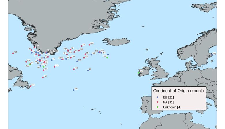
While the information is preliminary at this point, much will be made of the data over the next months. All the data must be crunched and processed to yield a “most likely track,” a representation of where the fish likely travelled while the tag was on it. The geolocation for these tags is calculated using available light—tricky on land, let alone under water of varying depths, sea state and clarity. So, while an exact track is not possible, we rely on the most-likely track to indicate where the fish has gone. On top of that, we can build a temperature and depth profile for the fish, showing daily habits and environmental condition preference.
All of this is being done to discover not only where the fish are going, but what conditions they encounter along the way as well as behavioural information. The open ocean is one of the hardest environments to protect, and the more we know about Atlantic salmon’s habits and actions in that environment, the better prepped we are to fight for protection for them and the environment they, and all of us, depend upon.


